Fuel-n-Food Lake Report – January 30th, 2025
Fuel-n-Food Lake Report
Good morning and happy Friday! Apologies for missing last week’s report; I was in Iceland (explaining the radio silence!). This report covers conditions as of Thursday, January 30th.
Ice Conditions:
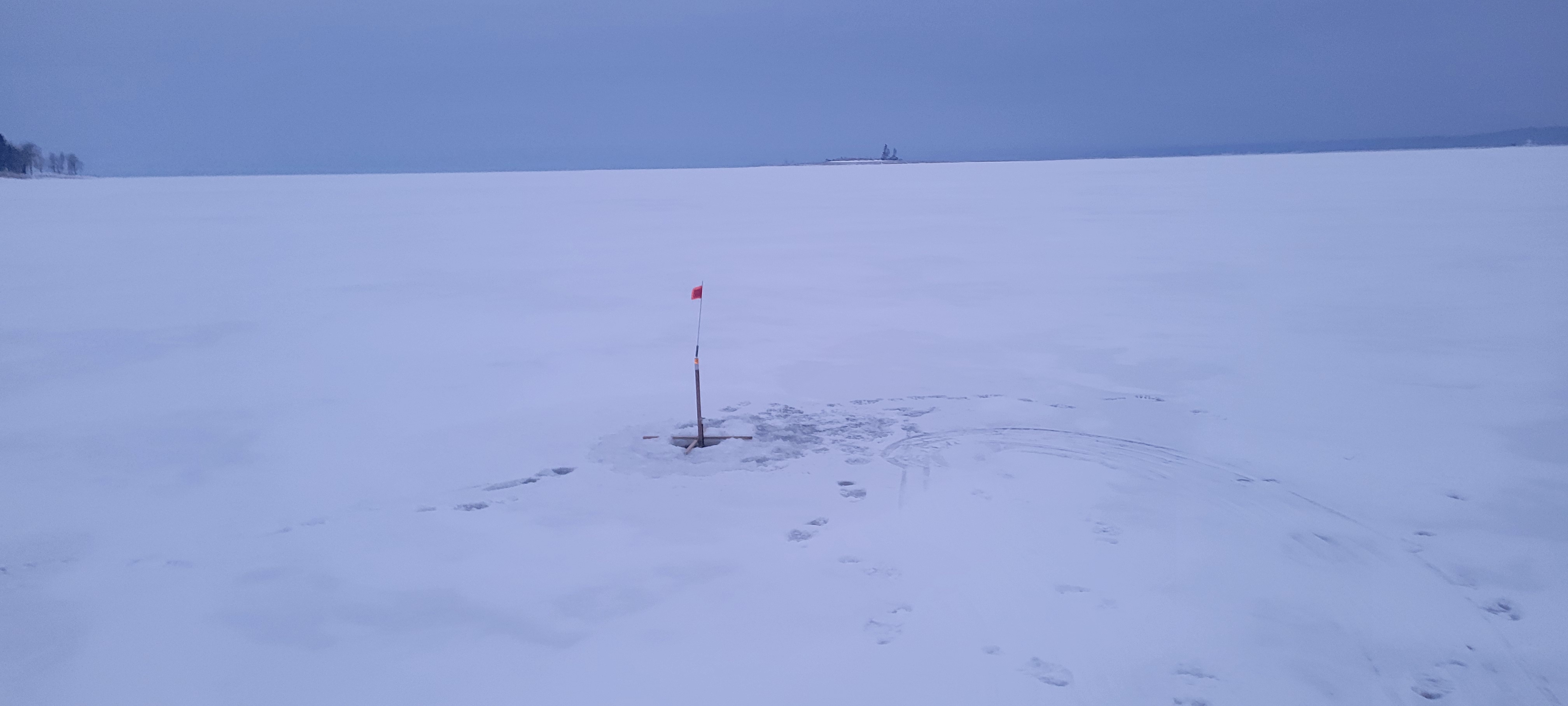
Wow, the lake has really made some ice since my last report! I’ve drilled 11-14 inches of ice almost everywhere I checked. However, there are a couple of spots to watch out for:
- Between Sand Island and Frenchmen’s: Only 6-7 inches.
- Mayfield side of Scout Island (from the rock pile back towards Griffis Rd. point): Also 6-7 inches.
The reason for these thinner spots is the super low lake level. The water flow is getting channeled through these areas, just like it does up on Turner Rd. heading off the lake to Mulleyville trails. The good news is that these areas are only about 4 feet deep (except Turner Rd., which is another story). The bad news? They can still ruin your day if you cross them with a very heavy vehicle.
Travel Conditions:
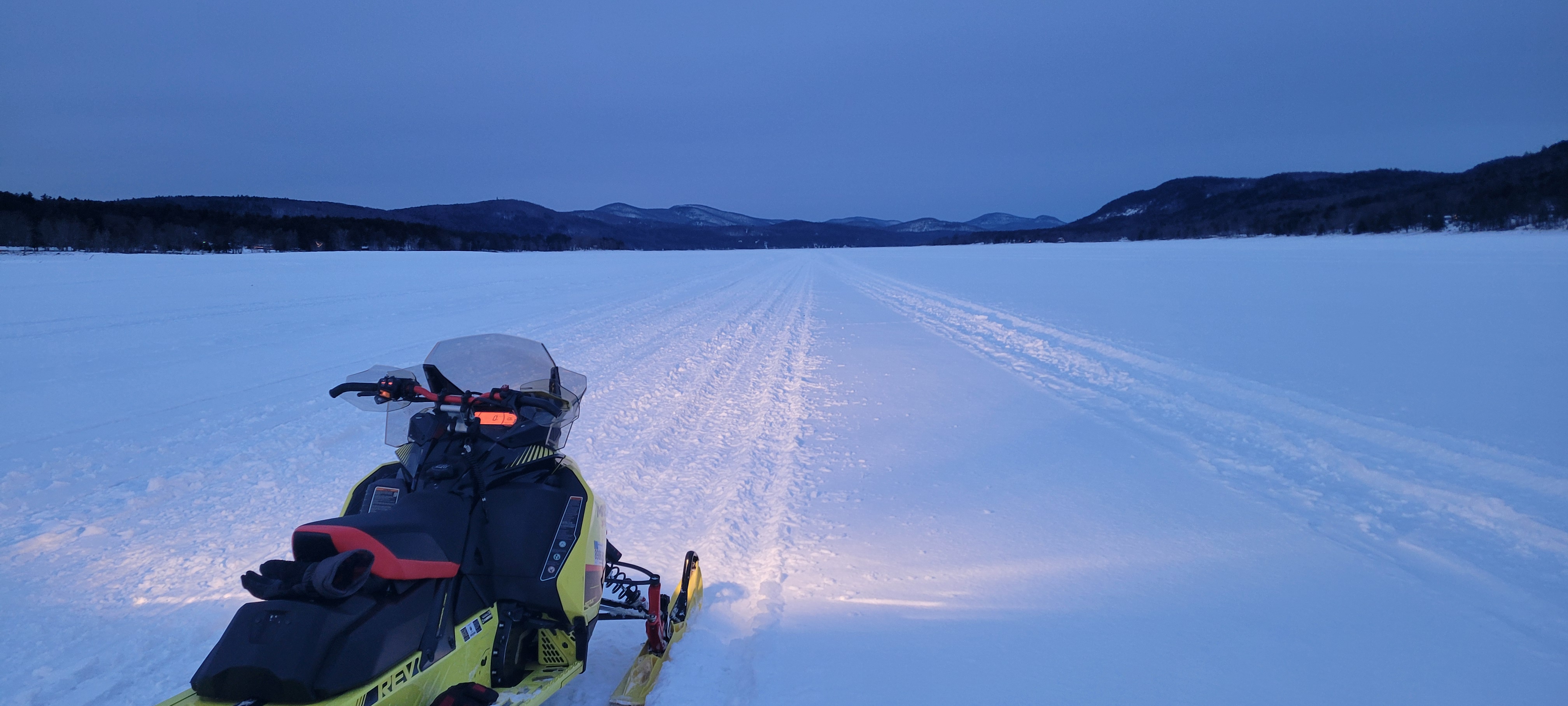
Snow conditions are perfect! Plenty of snow for sleds, but not too much to prevent using 4-wheelers and side-by-sides. It’s a little drifty in the middle of the main part of the lake – feels a bit like riding a Sea-Doo! But it smooths out and gets nice and flat from Sinclair Point up. If you’re looking to open it up and “duck tape the throttle,” the best place is from Sinclair to Ponderosa Pines. As always, make a slow run first to double-check, as conditions can change fast on the lake.
General Advice:
The lake level is dropping about a foot a week and is already super low – probably the lowest in 10 years. This means lots of rock piles and islands are appearing where we aren’t used to seeing them.
There’s even one spot almost directly in the middle, about 2 miles northwest of Sand Island, that only shows up when the lake is at its absolute lowest. There are also a few heaves, and the biggest and longest one goes from just offshore by Mayfield beach, zigzagging all the way across to Sand Island.
Slow down, especially at night, and you should be fine. There’s plenty of ice, so be more worried about obstacles than thin ice. Obviously, I can’t check every inch of the ice, but this should give you a general idea.

Fishing Report:
Walleye: Coming on and biting good!
Northern Pike: Slowing down, but still some big ones being caught.
Perch: Few and far between, but they’re running big.
Trout: No reports.
Local Businesses:
The Walleye Challenge is on! Lakeside has reopened, Lanzi’s has reopened, and as always, Vic’s, Sport Island, Twisted T’s, Old Trail, Ponderosa Pines, Placid Pines, and my second home, Wally’s, are all open and ready to go!
Final Thoughts:
Use your heads out there, and this should be one of the best Februarys in a decade! See if you can find all the “Jess’s” on the lake and one choker collar (inside joke, I guess!).
Tip of the Week:
“If you don’t have nothing nice to say don’t say anything at all.”
Disclaimer: This report is based on personal observations. Ice conditions can change quickly. Always use caution and good judgment when on the ice. Fuel-n-Food is not responsible for any accidents or injuries.


